Technology

Revolutionizing Agricultural Modeling & Monitoring in a Changing Climate

Our Groundbreaking Science

HabiTerre is the only company with the rights to commercialize technology developed in the world renowned UIUC lab run by founder, Dr. Kaiyu Guan. The foundational science behind our technology has been vetted and lauded through the publication of hundreds of articles in the most distinguished peer-reviewed journals.


How Does HabiTerre’s Technology Work?

Our technology makes it possible to observe and measure land and water resources for every farm on the planet. Read the steps below to learn about how we use our data streams to get insights that are used to create scientific models, that are then integrated with AI and supercomputers.

1

We integrate data streams from multiple remote sensors to create a comprehensive view of farmland.

Data streams from 20+ different satellites are processed with our fusion algorithms, which eliminate gaps in the data and remove the effects of clouds.

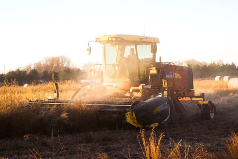
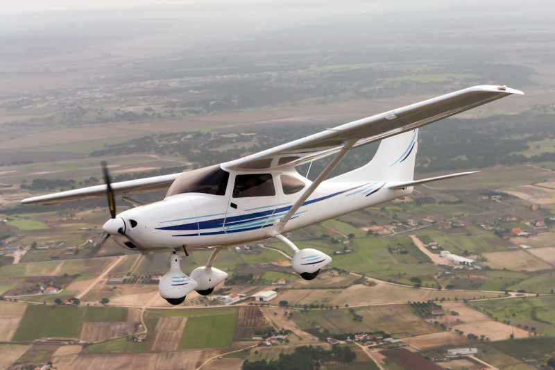
Next, this data is integrated with information gathered from sensors mounted on airplanes, automobiles, and ground sensor networks.

Integration of all of this information is made possible by our proprietary algorithms, which have been verified with actual “ground truth” information, creating a quantitative analysis of individual fields at a 30-meter (100-foot) resolution and at a daily frequency, recording the past 20+ years.

Then we apply our scientific models and proprietary algorithms to evaluate crop growth conditions (photosynthesis, biomass, growth stage, crop yield), water use, biochemical status (nitrogen and phosphorus content), and management practices (planting/harvesting time, field boundaries, crop type, cover crop growth, crop residue, and tillage).

Ground truth data allows us to reconstruct historical conditions and create forecasts.

2

We use these insights to constrain proven scientific models.

Starting with well-established scientific models* for simulating entire agriculture ecosystems, we added proprietary improvements that incorporate hundreds of variables above and below ground.

Then we constrained the model with actual observations, allowing us to reliably and realistically create a holistic view of each farm.

This effort has created the most advanced model for crop growth, carbon cycles, and nutrient dynamics.

* A selection of supporting research can be found here. For further information on our models and supporting research, please contact us.

3

We integrate data insights with the scientific model and use artificial intelligence and supercomputers to scale up this process for every farm.

Using AI and advanced mathematical tools to combine the data and model, we have created the first real forecasting capabilities for agroecosystems.

We are able to directly see how different components of carbon, water, and nutrients change during the growth season and how they are impacted by farming practices.

Additionally, we can create simulations that make it possible to predict the outcomes of various changes, from switching crop varieties and management practices, to assessing the impacts of climate change.

With the aid of supercomputers and cloud computing, we can process millions of farm-level simulations simultaneously, allowing us to achieve field-level accuracy over large geographic areas.

Because we look at farmland holistically, we are able to generate comprehensive insights, including…
young corn growing in field

Crop yield, photosynthesis, crop type, crop stress factors

CO2 written with clouds above field

Greenhouse gas emission, nutrient leaching, water quality, carbon sequestration

center pivot close-up

Crop water use (i.e. evapotranspiration),
soil moisture, irrigation guidance, field-level drainage condition

crop duster

Canopy nutrient contents, fertilizer application guidance

tractor in field

Planting/harvesting date, adoption of cover crop, tillage practice, other conservation practices (e.g. grass waterways)

small airplane in flight

Airborne hyperspectral imaging for crop assessment

The scientists who lead HabiTerre also lead the field. Dive deeper into the technologies and take a look at some of the papers co-authored by HabiTerre scientists in our News and Resources section.